Security
Security first
At the beach, in, on, and under water.
On ice.

Do you need a compass on Lac des Iles? Not necessarily.
But you should always have your Smartphone at hand to navigate the lake with our Interactive Maps.
For security reasons too!
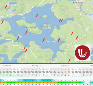
Wind is a major factor on Lac des Iles.
Normally and especially in the summer, southwestern winds are predominant.
If it blows too strong watersport enthusiasts find on the southwest shore and in lee of the “Grand Ile” more quiet waters.
Eastern winds create opposite conditions.
Leaving the Municipal beach you should take into account these prevailing conditions and start your adventures against the wind.
Coming back will be easier if the wind not decides to turn in the meantime.
To see the daily wind forecast, please visit windy.com or tap the map.
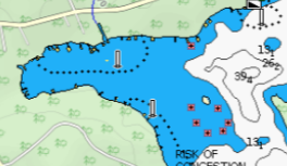
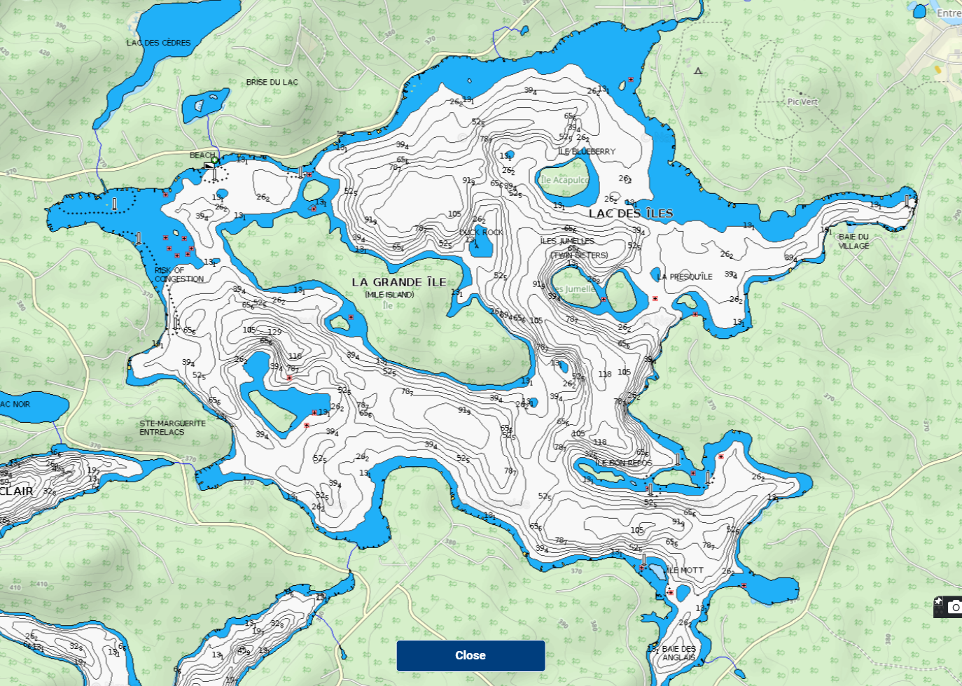
An interactive bathymetric map will look similar to the screenshot below. Blue-tinted parts mark shallow waters. Motorboats should avoid these areas or navigate with caution and respect the 30 m distance to the shore.
Visible rocks are marked in red, rocks under the surface are not.
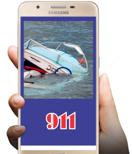
Please keep in mind that people may swim not only from public places or from any wharf into deeper waters. People may also swim from or around boats anywhere in the lake.
Lac des Iles is up to now only here and then survived. To monitor the lake permanently it needs much more.
We work on a system to monitor the lake 24/7. Technically and economically we do not see any obstacles,
but responsibility, operation, and cooperation are different tasks.

The main advantage of a monitoring system:
Everybody can lock via our Interactive maps (IMAP) in the system, monitor the lake, and contribute to the security of others.

The videos below demonstrate the possibilities
of monitoring dangerous situations and sports, and are no live videos from Lac des Iles.
LAC DES ILES
Contact
+1 (450) 822-5135
info@lacdesiles.space
Address
1 778 chemin des Iles
Entrelacs (QC) J0T2E0 Canada
(C) lacdesiles.space 2022-25

