NAVIGATION
Do you need a compass to navigate on Lac des Iles? No, but …!
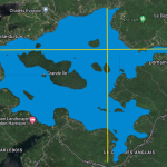
The lake measures 4,03 km in west-east and 4,01 km in north-south direction. The lake surface is 4,73 km2.
The shoreline is including all the bays 27,68 km long, and not every part of the shoreline is always in sight.
And besides the “Grande ile” a good handful of smaller islands – depending on your location on the lake – may cover up your embarkation point and complicate navigation.
Standout landmarks are rare and the lake is surrounded by private properties.
Private islands, bird sanctuaries, waterski- and wakeboard-tracks restrict or prioritize certain lake areas. And there are rocks!
So. what’s best for navigation?
A smartphone, what else!
Navigation by Smartphone and Interactive maps? Yes!
Modern smartphones have a GPS
“Current location” function.
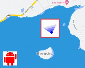
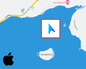
Once activated, a blue icon shows your position and direction of view.
If you point the icon in direction of a landmark, you know where you are.
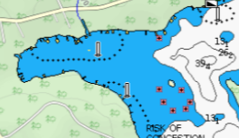
An interactive bathymetric map will look similar to the screenshot below.
Blue-tinted parts mark shallow waters. Motorboats should avoid these areas or navigate with caution, and respect the 30 m distance to the shore at all costs.
Visible rocks are marked in red, rocks under the surface are not.
NAVIGATION AND SECURITY ARE TWINS, WITHOUT PROPER NAVAGATION SECURITY IS AT RISK.

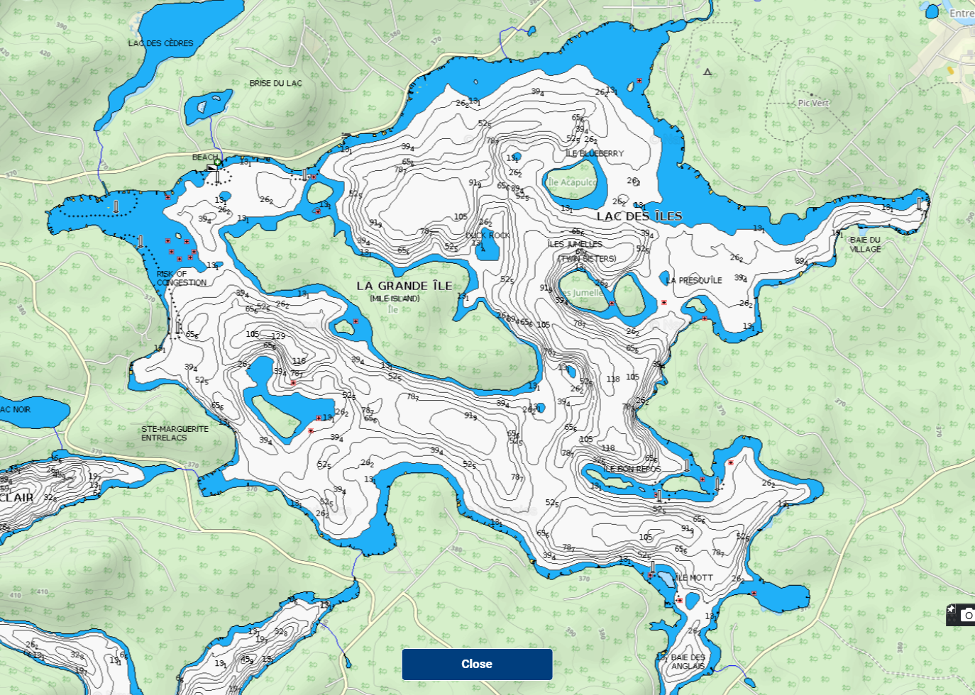
Small red icons = Rocks
Small green icons = Islands
Exact position (Geo-Coordinates) of rocks not yet determined.
LAC DES ILES
Contact
+1 (450) 822-5135
info@lacdesiles.space
Address
1 778 chemin des Iles
Entrelacs (QC) J0T2E0 Canada
